

Forest fires and receding water levels are just a couple of the obvious ways in which climate change is having direct, adverse affect on the land and thereby on the Indigenous people inhabiting Kakisa, a small community in the Northwest Territory with a population of 45 people.
This is the inspiration behind the Ka’a’gee Tu Atlas, a project between the Ka’a’gee Tu people and Wilfrid Laurier University.
The project documents and researches the less obvious ways in which these changes to the climate have affected the inhabitants of the area.
“I started working with them I guess in 2014 on a kind of climate change or human health project where we explored all sorts of topics about how the land is changing and how it’s affecting the community,” Andrew Spring, research associate at Laurier, said.
“So part of my work was kind of a vulnerability assessment. How climate change is affecting the community, but then more importantly what the community wanted to do about it.”
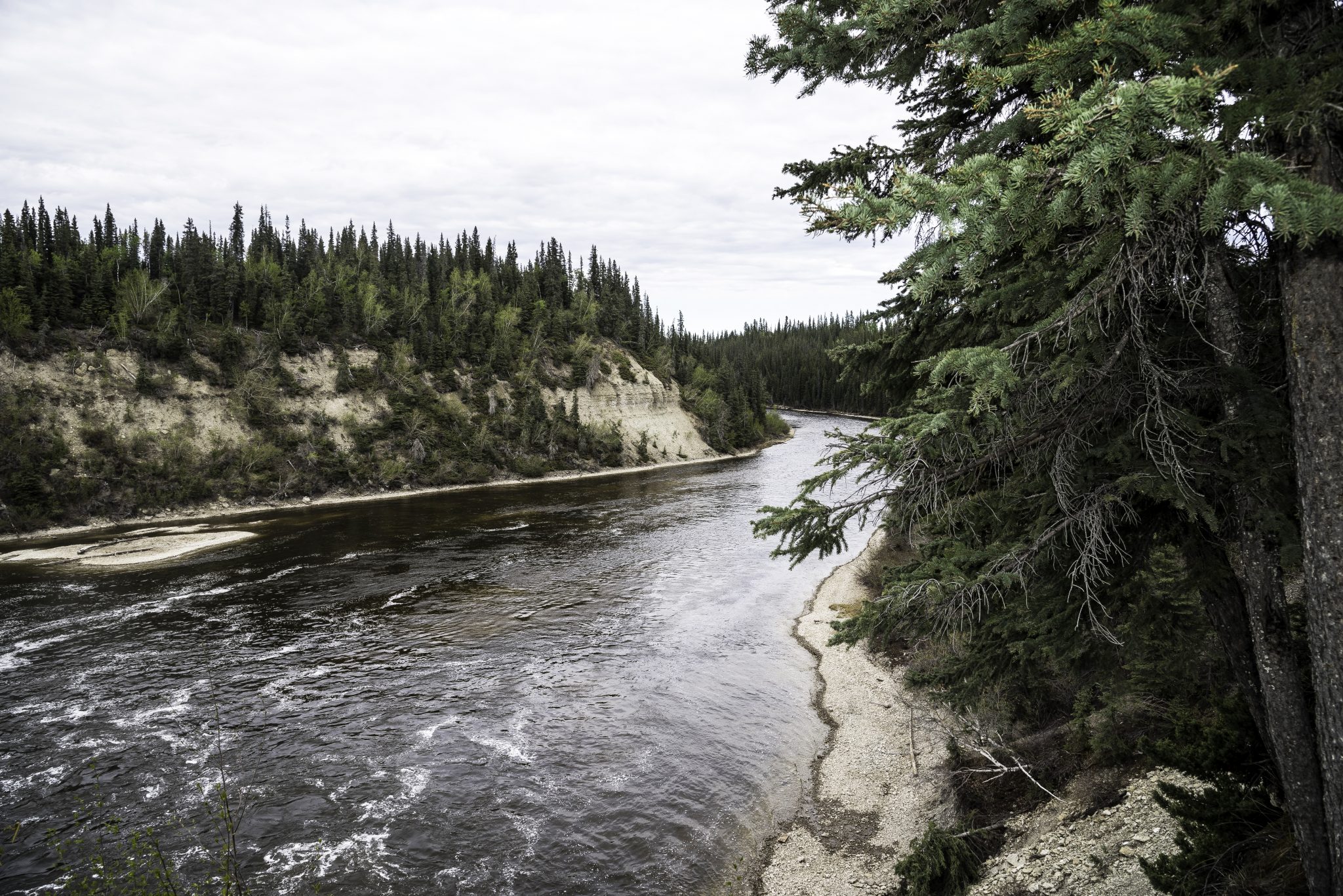
The enormous effects that have impacted the terrain are hard to ascertain exactly because a great amount of detail needs to be paid to both the environmental aspect as well as to why those changes are able to influence daily life.
“In 1950 there was probably about 70 per cent permafrost coverage on the landscape,” Ryan Connon, a hydrology-focused research associate at Laurier in Yellowknife, said.
“And that’s down to less than 40 per cent now. The permafrost is thawing very fast and it kind of changes the way that water is cycled and stored on the landscape.”
“Permafrost can act essentially as a dam system because it’s relatively impermeable to flow.”
This type of change is fundamental and it is a process that has had enormous physical effects on the land.
“As soon as that permafrost body thaws it increases the amount of hydrological connectivity in the landscape,” Connon continued.
“So water is essentially more free to move around the landscape and that changes the percent-age of the basin of the landscape that can move water and route water to the basin outlets.”
What the Ka’a’gee Tu Atlas does is study how many of these details impact how communities live off the land.
With the enormous, measurable affects of thaw, different portions of the land become less and less accessible.
“We’re kind of working with the community to map out some of these areas,” Spring said.
“One of the issues is, of course, safety on the land, so if you’re going across what you think is a nice flat area but underneath is not flat due to permafrost thaw, you’re putting yourself at risk.”
Without access to certain areas, life is slowly forced to adapt.
Changes in terrain as forests turn into wet, boggy areas affect safety on the land, which has direct impacts on ways of life.
Safety is paramount, but this can also reduce food access: traditional foods in the area are moose and Boreal — or woodland — caribou, but as safe access becomes more restricted with-in the Kakisa area, the opportunities to hunt are also lessened.
In order to explore how things can be restored, the Atlas project is dedicated to exploring the human aspects.
The primary focus of the work and the study is to help understand and educate.
This can help with retaining sustainable communities in the midst of, and in spite of, enormous environmental changes.


Leave a Reply
You must be logged in to post a comment.